Beautiful weekend on tap for the Island while unsettled weather continues in Labrador

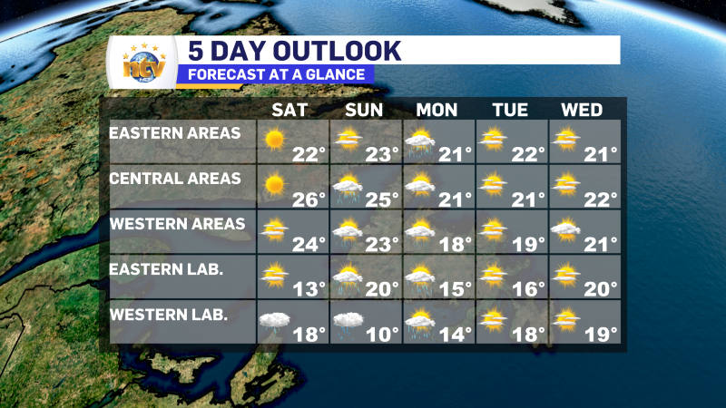
The forecast for the Island this weekend is about as good as it gets. Most of us will see sunshine and highs in the lower to middle 20s on both Saturday and Sunday. It’s not often that I can write a forecast in one sentence! The West Coast will be a tad different, as some showers will be on the go by Sunday afternoon.
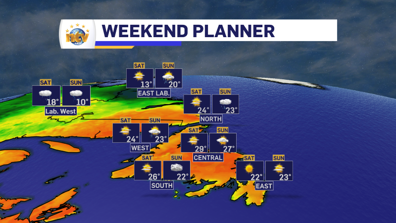
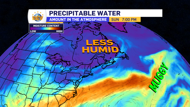
On top of that, areas that have been foggy for the last several days, mainly the entire southern shoreline of the Island, should see a reduction in the fog as some much drier air settles in for the weekend. The airmass we have had recently has tropical origins. Generally, when we get air like that, it comes with fog in the south. The airmass we are getting into for the weekend is more continental based, allowing for much more sun to shine in areas that have not seen for a few days.
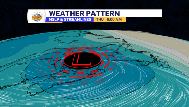
The weather in the Big Land will be a bit different as an upper-level low settles over the region. This will bring rain and showers to western areas both Saturday and Sunday, along with teen temperatures. Eastern parts of Labrador and the coast will see a bit more sunshine with scattered showers over the weekend. Temperatures will also be in the teens.
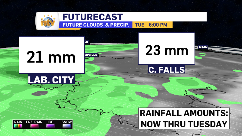
The cool weather and the impending rain will tremendously help the crews battling the fire near Labrador City. Hopefully, the fire will be put out with enough rainfall, and folks can return home sooner rather than later.
The extended forecast shows generally quiet weather on the Island for the next five days, and a calming and warming trend in the Big Land as we get into next week. Overall, this is one of the simpler forecasts I’ve had to prepare for a weekend, and I am ok with that!
Related Articles