Weather

Weather

3 years ago

Snow Squall Watch for Bay St. George today; generally quiet elsewhere

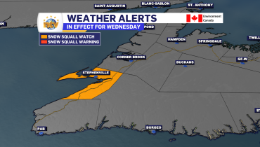
THIS ALERT HAS BEEN ENDED The Environment and Climate Change Canada Weather Office in Gander has issued a Snow Squall Watch for the Bay St. George area today. Snow squalls are anticipated in the Bay St. George area today, with the potential for heavy snow, reduced visibility, and rapid snow accumulation. Total snowfall in squalls […]

Read more
3 years ago

An unsettled weather pattern settles in for the week

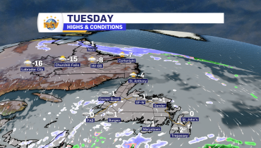
Tuesday Night’s Outlook Scattered flurries across the Island may be briefly locally heavy. Significant snow accumulation isn’t expected, but some areas with heavier flurries will pick up a few centimeters. The West Coast will see snow becoming more widespread early Wednesday morning. A narrow snow area will sink southward in Labrador, dropping up to 15 […]

Read more
3 years ago

Tuesday’s forecast: widespread flurries and possible West Coast snow squalls

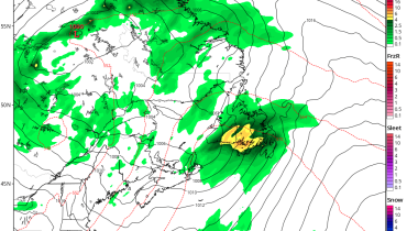
The area of low pressure that drove the weather across eastern Newfoundland yesterday has departed into the North Atlantic. Behind it, we still see some flurries and light snow in the east and northeast, but that will generally end within the next few hours. Generally, many areas of eastern Newfoundland have seen anywhere from 5 […]

Read more
3 years ago

Monday evening forecast; the snow ends, but a cold week is ahead

The snow will end from west to east and north to south over eastern Newfoundland tonight, generally by midnight. Snow flurries and snow showers remain across the island’s eastern half overnight and through Tuesday, but the accumulating snow will be done with. The remainder of the week looks to be chilly, with on-and-off flurries. Labrador […]

Read more
Back to top