



2 years ago
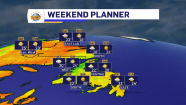
The weekend forecast: Thunderstorm chances linger into Saturday
An upper-level pressure center will pass over the Island between Friday night and Saturday. This will bring widespread showers and possible thunderstorms, more than widespread stratiform rain. The best chance of showers and thunderstorms Friday evening and night will be over the western half of the Island. Saturday, the best chance of showers and thunderstorms […]
Read more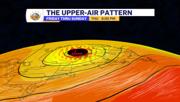
2 years ago
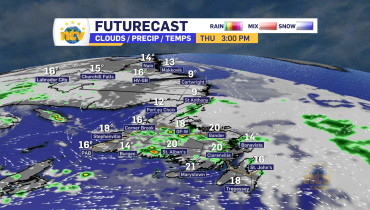
The weather turns a bit more unsettled Friday and Saturday
An upper-level low-pressure center will swing across the Island between Friday and Saturday. This will increase the rain, shower, and thunderstorm activity over the two days. There is a better chance of widespread rain on Friday and more scattered showers and thunderstorms on Saturday. I’ve got all the details in Thursday’s forecast from the NTV […]
Read more
2 years ago
Cooler air returns to the Island in time for Thursday
Newfoundland’s Forecast Thursday An area of high pressure build off the northeast coast. The flow around the high will be clockwise, which puts a good deal of the Island in onshore, eastern flow. This will keep skies cloudy over much of Central, eastern and southern sections through much of the day. Parts of central and […]
Read more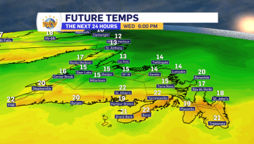
2 years ago
A cold front brings cooler air to most of Newfoundland by Wednesday evening
A cold front will slowly sink south across the Island overnight and Wednesday. While central and western Newfoundland is already into the cooler air, as of Tuesday evening, southern and eastern areas will not see it arrive until later Wednesday. I time out the arrival of the cooler air in my forecast from Tuesday’s NTV […]
Read more