




1 year ago
NTV Weather Update | February 27, 2025
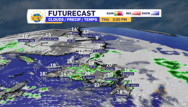
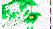
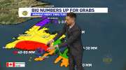
After a quiet Thursday, another round of snow, rain, and wind is set to move across the Island between late Thursday night and Friday night. The risk of flooding is real along the South Coast, where 50 to 100 mm will fall overnight into Friday. Lesser amounts are expected farther north and west. Meanwhile, snow […]
Read more
1 year ago
NTV Weather Update | February 26, 2025
The rain and snow will ease off overnight as the area of low pressure bringing us this round winter (and spring) weather departs. The risk of coastal flooding will be highest over southern areas tonight and from Notre Dame Bay to Conception Bay on Thursday morning. Get the full forecast by watching the video above!
Read more
1 year ago
Winter Storm Update (VIDEO) | February 26, 2025
I’ll have your full forecast coming up on the news this evening starting at 5:30 PM. To enable closed captioning on this video, please click on the bottom right setting icon and turn on that option.
Read more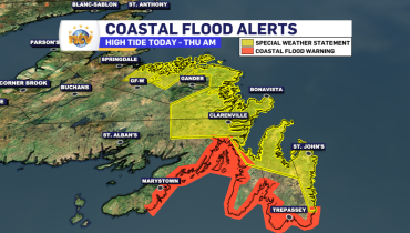
1 year ago
Coastal flooding possible today and Thursday for southern, central and eastern Newfoundland
A COASTAL FLOOD WARNING is in effect from this evening until midnight for the following areas: This warning is in effect for parts of the coast due to the following hazard(s): Moderate storm surge. Higher than normal water levels. Flooding is possible along the coastline. The water levels will be highest near high tide, which […]
Read more