



3 years ago
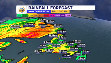
Wednesday night’s forecast; rain moves into Labrador while it’s status quo on the Island
The Overview An area of low pressure will swirl its way toward Labrador overnight and will spread rain throughout much of the Big Land before sunrise Thursday morning. The exception will be on the coast, where the rain will hold off until post-sunrise. On the Island, the large area of high-pressure offshore will keep the […]
Read more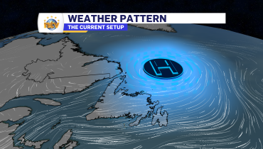
3 years ago
Wednesday morning’s forecast; more of the same
An area of high pressure north of the Island is going to keep the onshore, easterly flow, on the go for the next couple of days. While this will not result in significant weather rolling into the Island, it will keep the skies cloudy, drizzle frequent, and fog possible along and near east-facing shorelines. Today […]
Read more
3 years ago
Eddie’s forecast: More clouds than sun will be the rule for Wednesday + an update on Hurricane Lee
An area of high pressure north of the Island is going to keep the onshore, easterly flow, on the go for the next couple of days. While this will not result in significant weather rolling into the Island, it will keep the skies cloudy, drizzle frequent, and fog possible along and near east-facing shorelines. Lows […]
Read more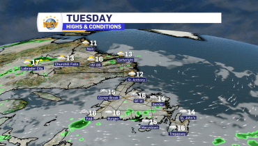
3 years ago
A soggy Tuesday is on tap for southeastern Newfoundland, and everywhere else… not so much
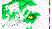
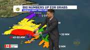
Our Tuesday morning is certainly starting off on the soggy side for the Avalon and Burin Peninsulas. The rain is falling heavily over the Avalon as of this writing (6:43 AM NDT) but is lighter farther west onto the Burin Peninsula. Rainfall amounts overnight were highest on the Boot. Winterland is reporting 13.3 mm since […]
Read more