



3 years ago
The weather slowly improves Monday night, after a fairly miserable day
The area of low pressure that, by in large, brought a miserable day to most of Newfoundland is going to slowly depart overnight. This means areas of southern, eastern, central, and northeastern Newfoundland have to deal with rain and gusty winds into the early morning of Tuesday. On top of that, temperatures are only going […]
Read more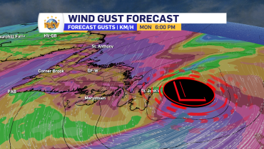
3 years ago
Heavy rain, high winds expected over eastern Newfoundland Monday
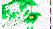
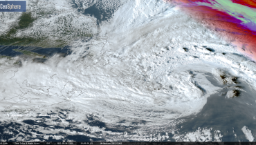
RAINFALL AND WIND WARNINGS ARE CURRENTLY IN EFFECT A strong area of low pressure is spinning well south of the Island Sunday night and is poised to bring a potent mix of rain and wind to eastern Newfoundland Monday into Monday night, or early Tuesday morning. Evening satellite imagery shows this pressure centre very well. […]
Read more
3 years ago
Special Weather Statement issued for Monday; Significant storm expected
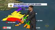
THESE ALERTS HAVE BEEN ENDED The Environment and Climate Change Canada Weather Office in Gander has issued a SPECIAL WEATHER STATEMENT for Monday for the following locations: Significant rainfall and strong winds are expected Monday. Locations: eastern Newfoundland. Total rainfall: 30 to 50 mm with locally higher amounts possible. Maximum wind gusts: 60 to 80 […]
Read more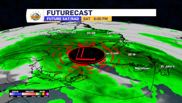
3 years ago
Slow-moving low drops copious amounts of rain through this weekend
The Overview An area of low pressure will stall, and move from east to west (called retrograding) over and south of the Island between Friday evening and Sunday before dissipating over the region between Sunday night and Monday. The slow movement of this low, along with the positioning, will allow significant amounts of rain to […]
Read more