




3 years ago
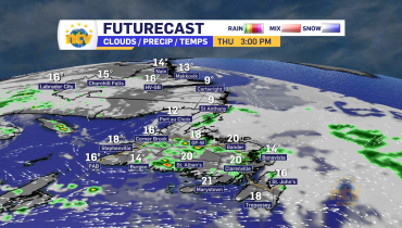
Rain and snow are in the forecast through Thursday for the Island
A deepening area of low pressure is going to track near, or over, the Avalon Peninsula between tonight and Thursday evening. This will spread rain and snow across the Island through Wednesday evening, and that will continue through much of Thursday for many areas. Due to cold air being in place north and west of […]
Read more
3 years ago
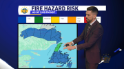
Snow expected Wednesday night, and Thursday for central and western Newfoundland, Special Weather Statement in effect
A Speical Weather Statement has been issued by the Environment and Climate Change Canada Weather Office in Gander for the following areas: Current details: Early-season snowfall expected. Total snowfall: 5 to 10 cm, except up to 15 cm over higher terrain. Locations: central and northeastern Newfoundland. Time span: tonight through Thursday afternoon. Remarks: The snow […]
Read more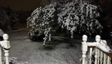
3 years ago
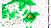
Snow and rain end this morning, weather improves for the Trick-or-Treaters… but it’s going to be cold!
St. John’s International Airport is reporting 6 cm of snow since late Monday night and roads across many areas of eastern and southeastern Newfoundland are locally slick this morning. The NL511.ca map shows this rather well. As you head out to work this morning, remember snow means slow. And if you don’t have your snow […]
Read more
3 years ago
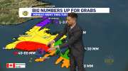
Eddie’s forecast; first snowfall for some tonight, bigger storm arrives mid-week
An area of low pressure is going to pass southeast of the Island overnight. This will bring rain and snow to much of the Island, south of the Great Northern Peninsula, through Tuesday morning. Most of what the Avalon Peninsula, Burin Peninsula, and South Coast see will be rain, while areas inland, over higher terrain, […]
Read more