



3 years ago
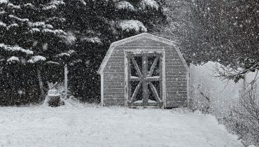
Eddie’s Forecast; The week ends on a calmer note
Friday, we will see a weak area of low-pressure track through the Strait of Belle Isle. This will bring an enhanced area of rain and snow across a good bit of central and western Newfoundland during the day. Southerly winds drive somewhat milder temperatures across the Island. Eastern areas will see mainly sunny skies, as […]
Read more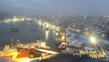
3 years ago
Snow flurries and chilly temps on Thursday’s docket
Our Thursday morning is starting off on the cold side across much of Newfoundland and Labrador. As of 6:42 AM NST, temperatures on the Island are in the single digits below freezing, while temperatures in the Big Land are into the minus teens, and minus 20s and some areas (Wabush) getting very close to -30ºC. […]
Read more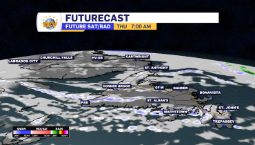
3 years ago
Snow ends in eastern/central Newfoundland this evening, chilly temps settle in for Thursday
The frustrating area of low pressure that brought the snow and rain to eastern and central Newfoundland on Wednesday will move into the North Atlantic overnight, taking the snow with it. Behind the low, we are in for a chilly day across the Province on Thursday. More sunshine will also be seen across the region, […]
Read more
3 years ago
Eddie’s Update: Less snow in the forecast for Metro, more for areas farther west
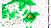
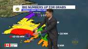
Looking at the latest guidance, it appears there has been a bit of a westward shift in the heaviest snowfall. The St. John’s Metro likely sees less snowfall (10 cm or less) rather than more. Heavier amounts (10-20+ cm) will likely be over the southwestern Avalon Peninsula, the Burin Peninsula, Clarenville, and northwest toward parts […]
Read more