




3 years ago
Arctic air invades the Province early this week; Extreme Cold Warning in effect for Lab. West
The coldest air of the winter is set to invade the Province over the coming days.
Read more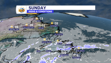
3 years ago
Sunday’s forecast: flurries, and that’s about it
Sunday’s Forecast and the Long Range A few more flurries will be found across the Province on Sunday, but that’s about it. Monday and Tuesday look similar. Temperatures will moderate a bit but for most areas of the Island will be a few ticks below freezing and Labrador will see highs in the minus teens. […]
Read more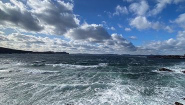
3 years ago
The Weekend Forecast? Calmer!
Saturday’s Forecast Mainly cloudy on the Island, with areas of flurries near north-facing shorelines. This includes the Avalon Peninsula and the St. John’s area. Highs will be near -2. Areas of the West Coast and the South Coast should be dry, with a few breaks of sun. Labrador will see a few flurries on the […]
Read more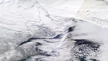
3 years ago
Snow and snow squalls will be ongoing in the west today, and begin to ease elsewhere
Snow, snow squalls and high winds continue to affect much of the Province this morning. The latest radar imagery shows we’ve still got lines of squalls on the go across western, southern and eastern Newfoundland. The snow under these narrow bands is quite heavy, bringing micro-blizzards to the areas under them. Snow Squall Warnings remain […]
Read more