



2 years ago
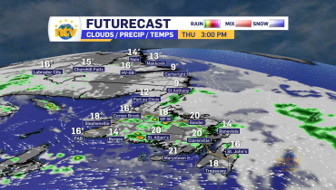
Spring-like Wednesday ahead for the Province
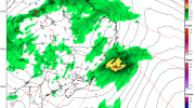
An area of low pressure moving through Quebec will combine with an area of high pressure to the southeast of the Province over the Atlantic Ocean to bring a rare spring day in late February. The chart below illustrates today’s pattern quite well. Weather Forecast Maps Temperatures are going to be on the warm side […]
Read more
2 years ago
Wednesday will be downright Spring-like across much of the Province
An area of low pressure taking shape well west of Atlantic Canada and a large area of high pressure to the east will combine to drive southerly winds and unseasonably warm temperatures across the region on Wednesday and Thursday. Weather Forecast Maps The ultimate outcome of this pattern will be 2 to 3 days of […]
Read more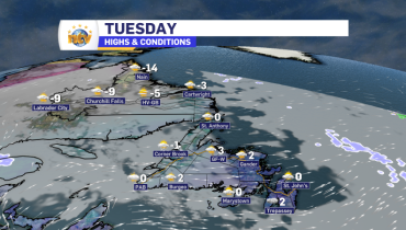
2 years ago
A quiet Tuesday on tap for the Province… I promise!
We are looking at a few flurries on both eastern and western Newfoundland this morning. Those will end and/or move offshore early this morning, and behind it, most areas of the Province will see a sunny and mild day. Highs will range from the minus single digits in northern and western Labrador and near to […]
Read more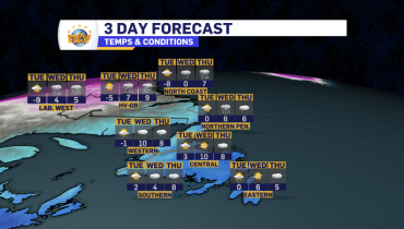
2 years ago
Snow ends on the Avalon this evening, but more flurries move across the Island into Tuesday morning
Today’s semi-surprise snowfall we dealt with on the Avalon will end this evening. Beyond that, we will see an area of light snow, and flurries move across western, southern, and eastern Newfoundland from late tonight into mid-morning on Tuesday. Once that passes, we are looking at a decent Tuesday for much of the Province. Wednesday […]
Read more