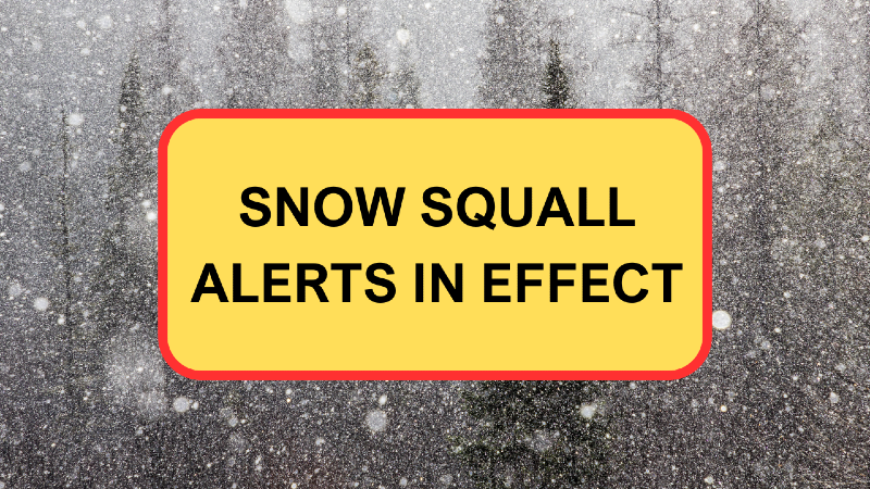
Snow Squall Watches, Warning in effect for western and southern Newfoundland
TRACK THE SQUALLS IN THE NTV WEATHER CENTRE
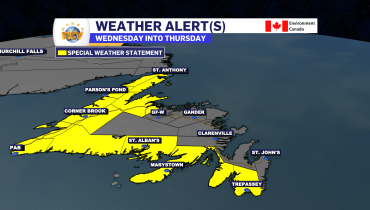
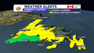
Snow Squall Watches and Warnings are currently in effect along from the Burin Peninsula to Channel-Port aux Basques and from Bay St. George to Port Saunders and the Straits. Conditions in these areas vary widely, however the snow squalls will for some very stormy weather locally.
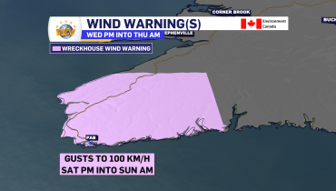
As of mid-morning Saturday, the heaviest squalls were located in the Bay St. George area, and this is the current location under a Snow Squall Warning. The rest of the South Coast and the West Coast are currently under Snow Squall Watches.

Snow squall watches are issued when conditions are favourable for the formation of bands of snow that could produce intense accumulating snow or near zero visibilities. Snow squall warnings are issued when bands of snow form that produce intense accumulating snow or near zero visibilities.
Locations along the West Coast under persistent snow squalls will see as much as 30 cm of snow, with locally higher amounts possible, especially in the higher terrain. Along the South Coast and Burin Peninsula, snowfall amounts under squalls will be somewhat less, with as much as 15 cm expected under the most persistent squalls, with locally higher amounts possible.
The snow squalls will continue into tonight before easing and becoming a little less widespread Sunday morning.
Related Articles